The Great Northern Mighty Frontier Circle Tour - Mackenzie Frontier

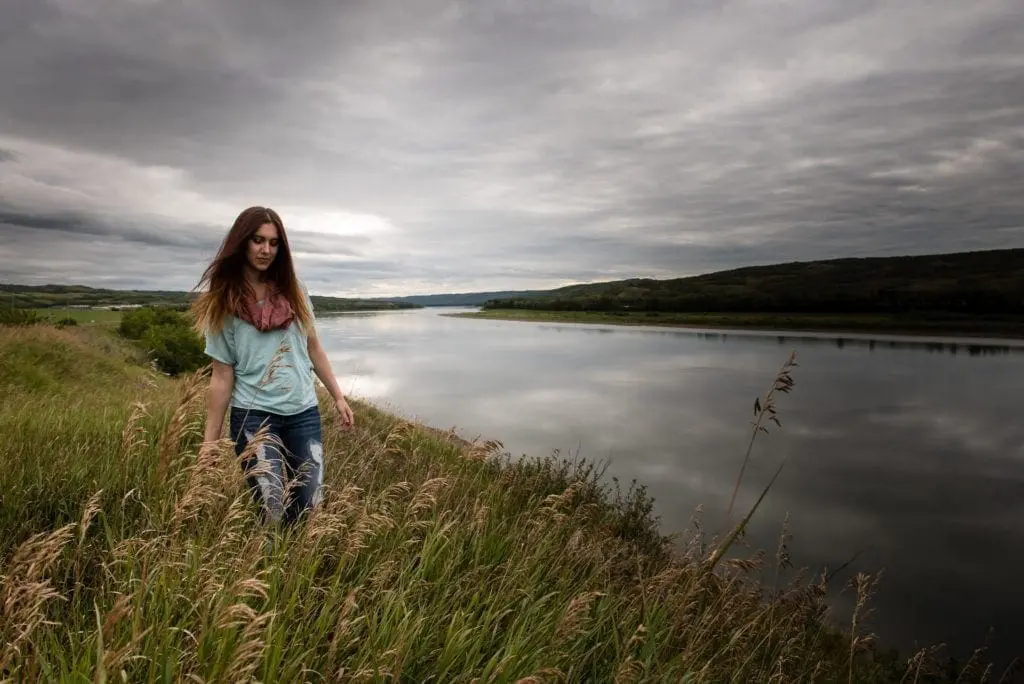
Northern Alberta tourism has become popular with those looking for outdoor adventures. There’s plenty to do in our unique region all year round. Tourists to the Mackenzie Frontier Region explore landscapes, events, and experiences.
Most visitors arrive to spend time with family and friends, while others are connecting to destinations in the Far North. In a region spanning 80,000 square kilometres, even the local residents can enjoy feeling like a tourist!


Twin Lakes Provincial Campground
This self-registration campground has sites suitable for RVs and tents, with surrounding trees for privacy. The basics are provided, firepits, picnic tables, pit/vault toilets and a picnic shelter. There is no potable water at this campground.
Location
Turn off HWY 35, follow gravel road, Tower Ave for 2km
(780) 624-6125.
Park & Green Space
Mackenzie Crossroads Museum & Visitors Centre
Admire artifacts from the late 1800’s and early 1900’s in a typical trading post/general store setting complete with attached living quarters.
Other displays highlight the First People to inhabit the area, trapping/fur trading, and farming in the region. While visiting, check out local artists' work at the gift shop, the infamous Big Red Chairs, Little Free library and outdoor picnic and walking area.
Don’t forget to look for the Geocaches along the way!
Aspen Ridge Campground
Looking for a place to set up your tent or camper check out Aspen Ridge Campground. Whether you’re looking for a getaway or need to stay in town for business, this is the ideal location.
A perfect spot to enjoy the outdoors with High Level amenities only 3 km away. Showers and laundry services are available on site.
Fox Haven Golf & Country Club
Fox Haven Golf & Country Club is the most northerly 18-hole golf course in Alberta. On top of the 18-hole course, they offer Golf cart rentals, Driving Range, Camping and Restaurant on site.
Located 3 km north of High Level along Hwy 35 this is a perfect place to spend an afternoon.
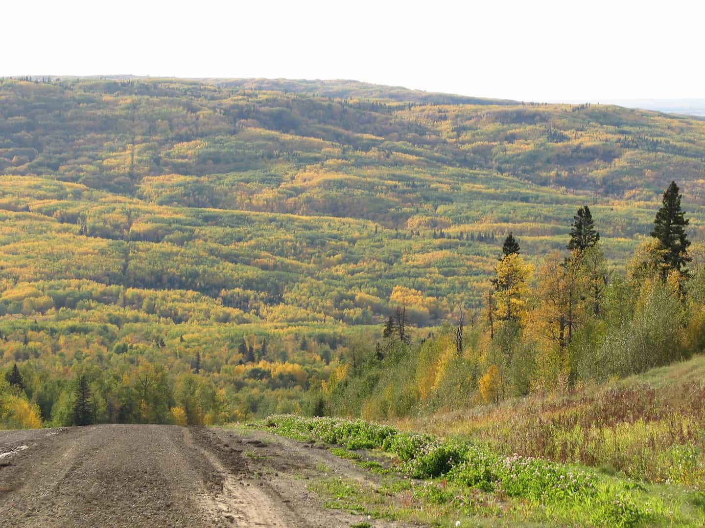
Footner Trails
Hutch Lake
Hutch Lake Campground is located 35 km north of High Level and is situated on the west side of the scenic lake.
The beach, playground and volleyball net make it a perfect destination for families with kids. The lake features a dock, boating, and is great for fishing.
There is 21 Non-Service Sites, along with group sites and tenting sites.
Machesis Lake campground
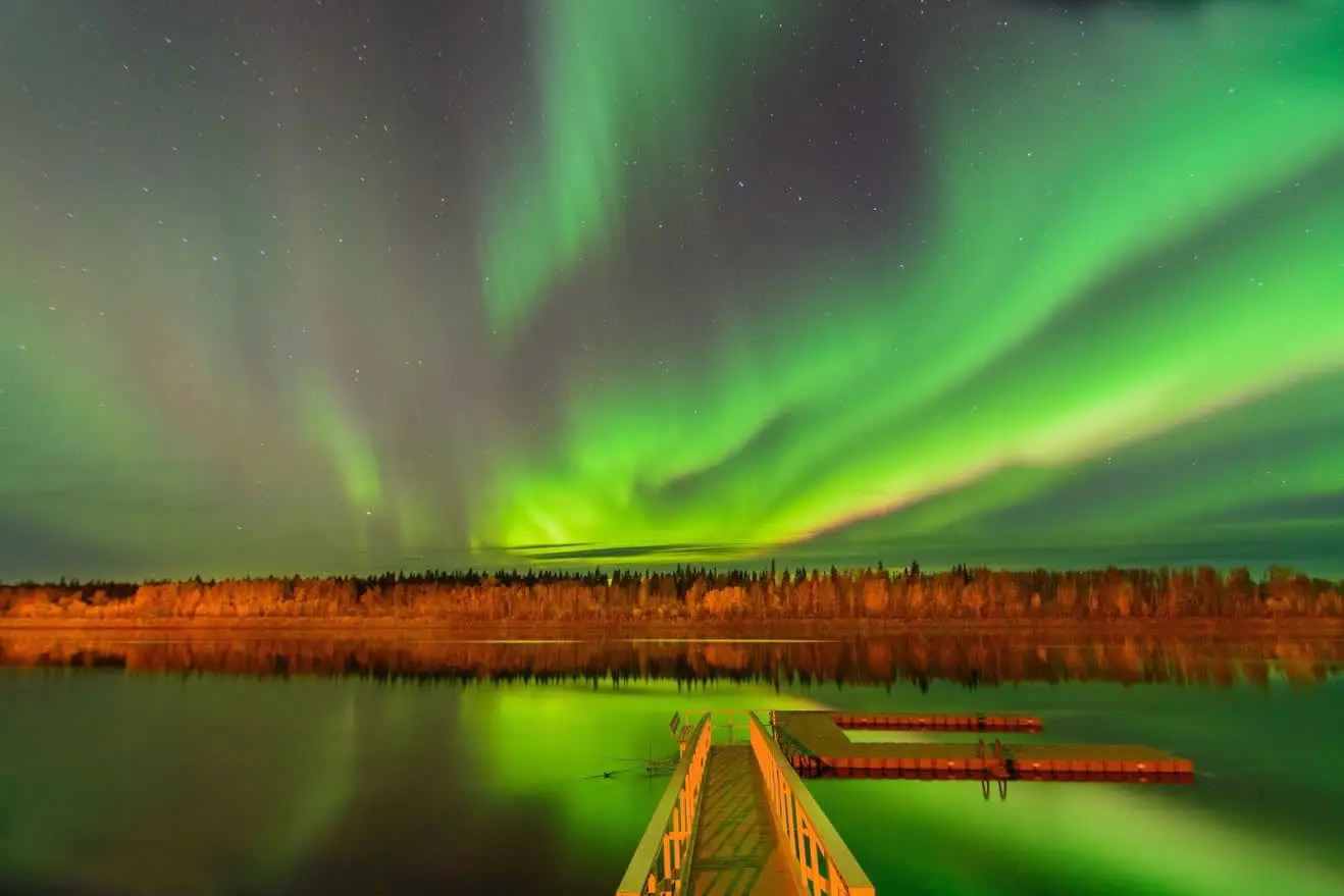
Located in the community of Rocky Lane, is the beautiful, quaint Machesis Lake Campground. Listen to the birds while surrounded by boreal forests; enjoy long daylight evenings in the middle of summer; fish from the stocked lake; and take in the beauty of the exquisite aurora borealis while staying warm around a campfire at the end of summer. 19 Non serviced sites 8 Equestrian non-serviced sites Machesis Lake campground is the perfect place to explore Northern Alberta’s sandy trails on horseback. The campground is equipped with 8 sites with horse pens, manure bins and hitching posts
(780) 927-3718
Eleske Shrine
South of Hwy 58 East on the Childs Lake Indian Reserve is Eleske Shrine. Eleske is the Beaver First Nation word for “White Mud Land”, descriptive of the white alkali soils. Construction started in 1944.
Built in honour of the St. Bernadette Church, it was hoped prayers at the Shrine would stop the tuberculosis epidemic. With only shovels to use, local people built the shrine using stones from the Boyer River bed. By 1945 Eleske Shrine was completed.
Every July, hundreds make the trip to the shrine.
Rocky Lane Agricultural Society
Rocky Lane Agricultural Society is home to a heated equestrian indoor riding arena, round pen and outdoor arena. Community Hall for rentals year round. Picnic area is on-site. Ice skating and downhill sledding available throughout the winter.
Rocky Lane Agricultural Society provides alluring trails for both classic cross-country and skate-skiing. In the winter season, the trails are groomed weekly and offer beginner, intermediate, and advanced routes. This stunning 15 kilometres of trails offers a family and pet- friendly ski experience along the Ponton River. During summer and fall, the trails can be used for hiking, cross-country running, mountain biking, bird watching, and horseback riding, free of charge.
Little Free Library and Geocaches along this stop. Enjoy the scenic drive through farmland, river systems and gravel roads. Call 780-927-4538 for more information and follow us on Facebook for up-to-date information.
How to Find us from the West (High Level): Follow Highway 58 to the Rocky Lane turn (to the right on RR 151) before the Ponton River Bridge (Highway Sign). Follow RR 151 until the intersection for township RD 1092, floor all the way past the Rocky Lane School. Turn left after the school and then another left to the Ag grounds. Follow the brown ski signs on the backroads to the Rocky Lane Ag. Grounds.
How to find us from the South/East (Fort Vermilion): Follow Highway 88 to the Rocky Lane turn before the Boyer River Bridge (the "Blue Bridge") follow the Rocky Lane Rd all the way - Follow the back roads looking for signage to the Rocky Lane Ag. Grounds.
Fort Vermilion Bridge Campground
Find this peaceful campground nestled on the banks of the mighty Peace River across from Fort Vermilion. Take a trail down to the river and admire the view of the Fort Vermilion Bridge. 9 Non-Service Sites.
Location
Located on the North Side of the peace river, HWY 88
(780) 927-3718
Fort Vermilion Parks & Green Space
Check out SS D.A. Thomas Day Park Along River Rd, equipped with a boat launch and dock, day-use area, shelter, fire pits, overlooking the Peace River.
A great place for the kids is Fort Vermilion Arena Park located Along 44 Ave, this park has a playground, splash park, volleyball, skate park, heritage buildings.
Enjoy the River Walk Along River Rd. the serene walking trails offer beautiful views overlooking the Peace River.
Location
5107 River Rd River Lookout & picnic area
Fort Vermilion Heritage Centre
As one of the oldest settlements in Alberta, Fort Vermillion is packed with rich history!
This center features exhibits about First Nations, the fur trade, local families, life along the Peace, and farming at 58° North. Make sure you pick up a Fort Vermilion Historical Guide, and explore the self-guided walking or driving tour around the community!
The museum is open year-round.
Location
5001 44th Tardiff Ave. (within the Community Complex)
(780) 927-4603
fvhc@hotmail.ca
Buttertown Loop
Across the Peace River, Buttertown has many original buildings still standing. These handcrafted, dovetailed log structures are worth the side trip.
With schools, stores, church, fire hall & even a pool hall, the community was self-contained. A summer ferry or winter ice bridge were used to cross to the Fort – not always reliable in poor weather.
This area is a very important part of our history.
Old Bay House
Completed in 1908, this beautiful Yellow house provides a unique glimpse of Alberta’s fur trade settlers. A camera is a must as you explore the riverside walking trails, many historical sites and buildings, and beautiful river views.
Pick up the Fort Vermilion Historical Guide at the Fort Vermilion Heritage Centre for more information during your tour. Keep an eye out for interpretative signage along the way!
Located along River Road
The Peace River
The Mighty Peace River was the original highway, first to and from Fort Chipewyan to the east and later, between Fort Vermilion and Peace River to the south.
Explorers, Indians, traders, surveyors, and settlers travelled the river in canoes, York Boats, rafts, and stately river boats such as the S.S. Peace River, and the D.A. Thomas. The thriving trade and settlement at Fort Vermilion influenced the political decision to strike the northern boundary of Alberta at 60 degrees north latitude.
In 1905 the province of Alberta was formed and it included Fort Vermilion. It truly is “Where Alberta Began.” In 1974 the bridge across the Peace River was opened and the region changed forever.
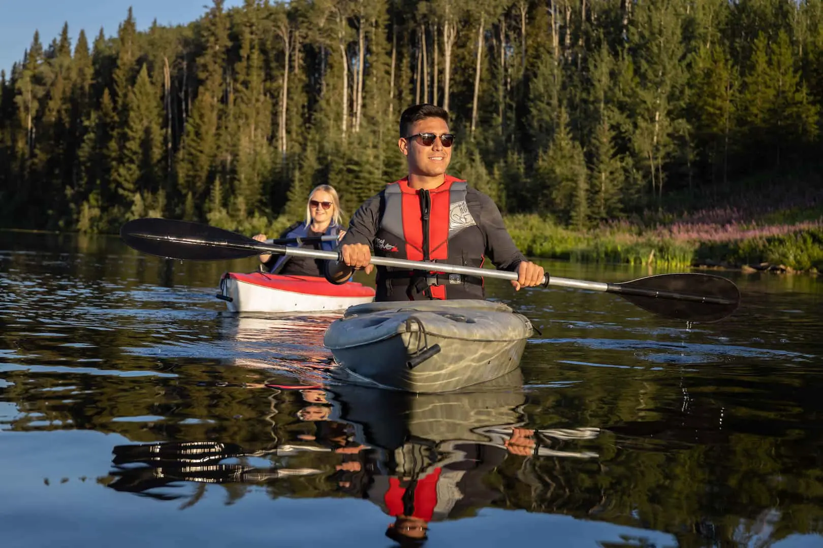
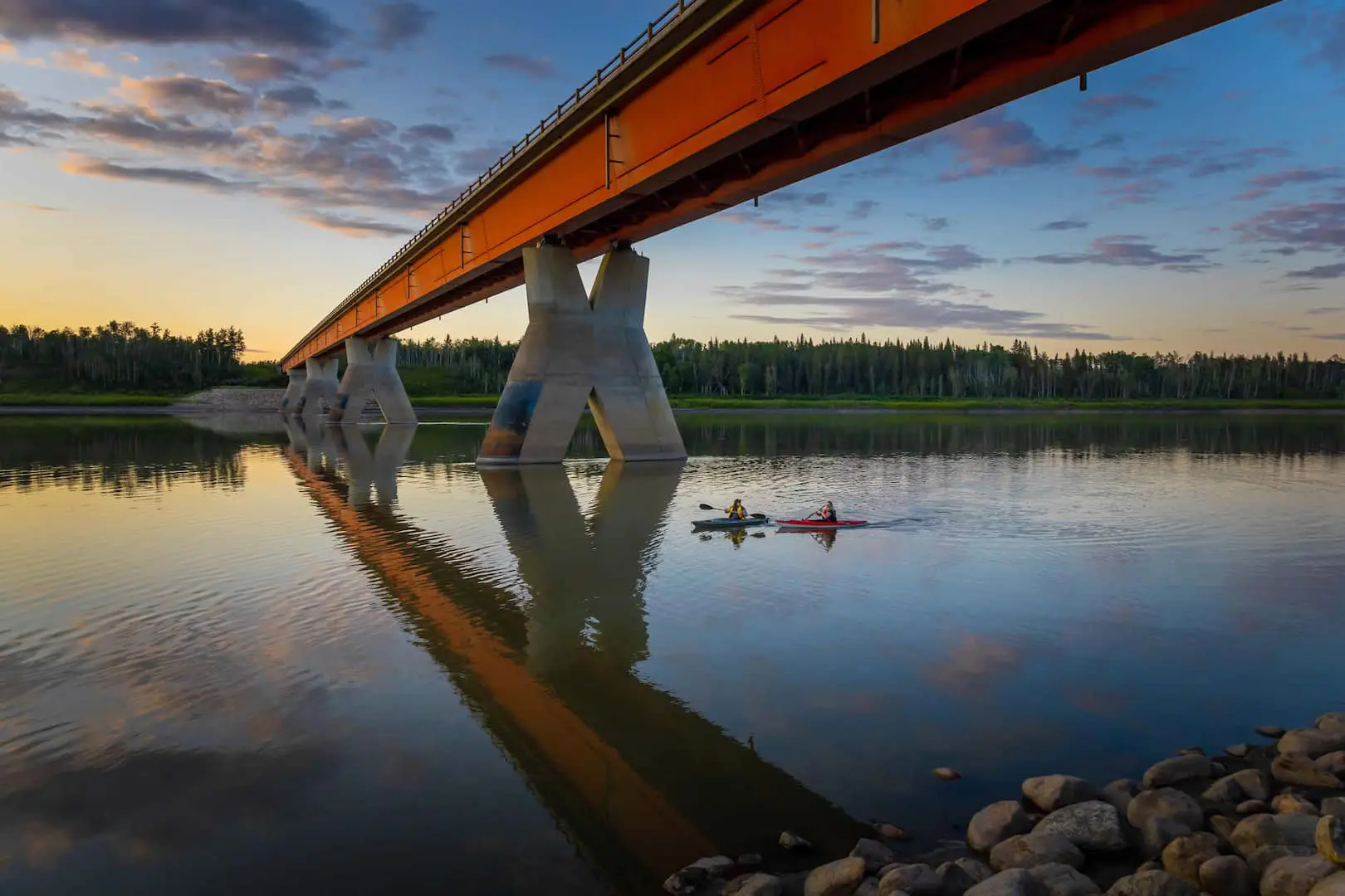
The Peace river offers amazing Kayaking, Canoeing, Boating and Fishing for all those wanting to take a river adventure.
Buffalo Head Lookout
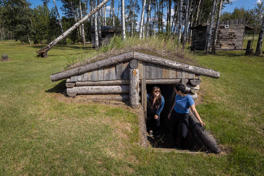
La Crete Mennonite Heritage Village
The La Crete Mennonite Heritage Village has been managed by the La Crete Agricultural Society since 1991.
The museum village contains over 15 local heritage buildings, a 1910 Case steam engine, the former Tompkins Landing ferry, a flour mill, many pieces of farm equipment, furnishings, and other artifacts.
Location
2.5 km southeast of La Crete
The La Crete Mennonite Heritage Village is located 2.5 kilometres southeast of the town of La Crete
(780) 928-4447
lacretemuseum@gmail.com
Cabin in the Woods
This popular B&B is loved by locals and tourists alike! Receive a warm welcome by Lena upon your arrival to either the Rustic Log Cabin or the vintage, farmhouse styled Tiny House.
Sleeps 4-6 guests and includes luxurious bathrobes, towels and bedding, self-catering kitchen, BBQ, and continental breakfast.
Location
14328 TWP RD 1060
(780) 285-1034
lenasbandb@hotmail.com
Parks and Green Space
La Crete is home to many parks within the community check out Arena Park at 10201 99 St. for Tennis courts, playground, and outdoor rink.
Stop by the beautiful Jubilee Park located on 100 st for walking paths with pond, skate park, shelter, volleyball, swings, and fire pits. Jubilee is also home to the Summer farmers market on Wednesdays!
Knelsen’s Park Along 110 St. is great for families with an amazing Playground, splash park, change rooms, fire pits, and shelters.
Stop by Reinland Park along 101 Ave. for a Playground, shelter, fire pits and picnic tables.
Tourangeau Lake
La Crete Ferry Campground
47 km south of La Crete and 78 km from High Level; right on the banks of the mighty Peace River. Enjoy entertainment for the whole family, including a volleyball net, basketball court, horseshoe pit, fishing, boat launch and playgrounds.
Take a walk along the trails and observe one of the last ferries in operation in Alberta.
- 78 Semi serviced sites
- 5 Non serviced sites
- 3 Large group sites Tent sites
Location
Hwy 697
Tompkins Landing & la Crete Ferry
One of the last remaining ferries still in service in Alberta, the La Crete Ferry Crossing is unique. Weather permitting, the ferry runs April - November (no charge).
A winter ice bridge keeps traffic moving. Further east is the Tompkins Landing Picnic area, with tables and fire pits it’s perfect for lunch along the Peace.
La Crete Golf Course
Only minutes from the hamlet, La Crete Golf Course is an immaculate 9 hole layout that will delight all golfers. Wide open fairways, exquisite greens & well-placed bunkers provide an excellent golf experience, and camping is available on-site for the travelling golfer.
The picturesque 2-story clubhouse has rental space for parties and functions.
(780) 285-2349
Explore the Full Circle Tour Experience.